Well-known cycle routes across the English-speaking world: Hadrian's Cycleway, Lôn Las Cymru and the Camel Trail, the Great Western and Waterford Greenways, the Great Allegheny Passage, C&O Canal and Katy Trail, the Confederation Trail, and Australia's Munda Biddi and Victorian rail trails, with practical advice and official sources.
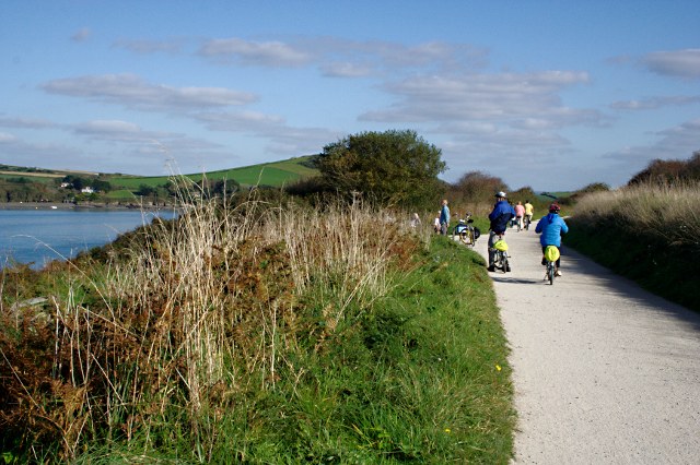
The Camel Trail follows a former railway between Padstow, Wadebridge, Bodmin and Wenfordbridge. The estuary section near Padstow and the inland stretches offer different ways to explore Cornwall without committing to the whole route. Cornwall Council describes the trail as largely traffic-free and nearly level.
The cycling section of the Tarka Trail links Braunton and Meeth through Barnstaple, Instow, Bideford and Great Torrington. Estuary views give way to wooded inland valleys along former railway routes. It forms part of National Cycle Network Route 27, but this guide concerns the Braunton-to-Meeth section rather than the longer walking trail.
Hadrian's Cycleway, National Cycle Network Route 72, crosses northern England from the Cumbrian coast at Ravenglass to the mouth of the Tyne at South Shields. It follows the Solway Firth, passes Carlisle and Hexham, and stays close to the line of Hadrian's Wall, with forts, museums and river valleys along the way. The route mixes quiet lanes, traffic-free paths and short sections on busier roads.
Lôn Las Cymru is National Cycle Network Route 8, the long-distance route through the length of Wales. From Cardiff it climbs through the Taff valley into Bannau Brycheiniog, crosses mid Wales by way of Builth Wells and Machynlleth, skirts Eryri and reaches Anglesey before finishing at Holyhead. It is a hilly, scenic ride rather than a flat trail, with long stretches on quiet roads.
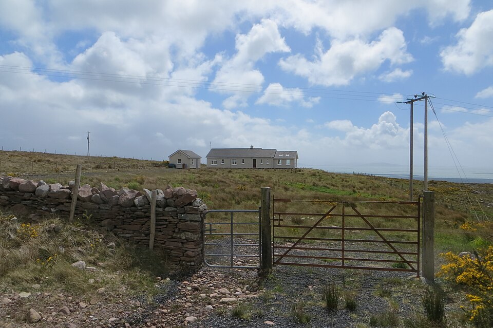
The Great Western Greenway follows the old Westport to Achill railway around the eastern and northern shores of Clew Bay. Traffic-free almost throughout, it links Westport, Newport and Mulranny with Achill Sound, with views over the bay's drumlin islands and towards Croagh Patrick. It was one of the first long greenways in Ireland and remains among the most popular.
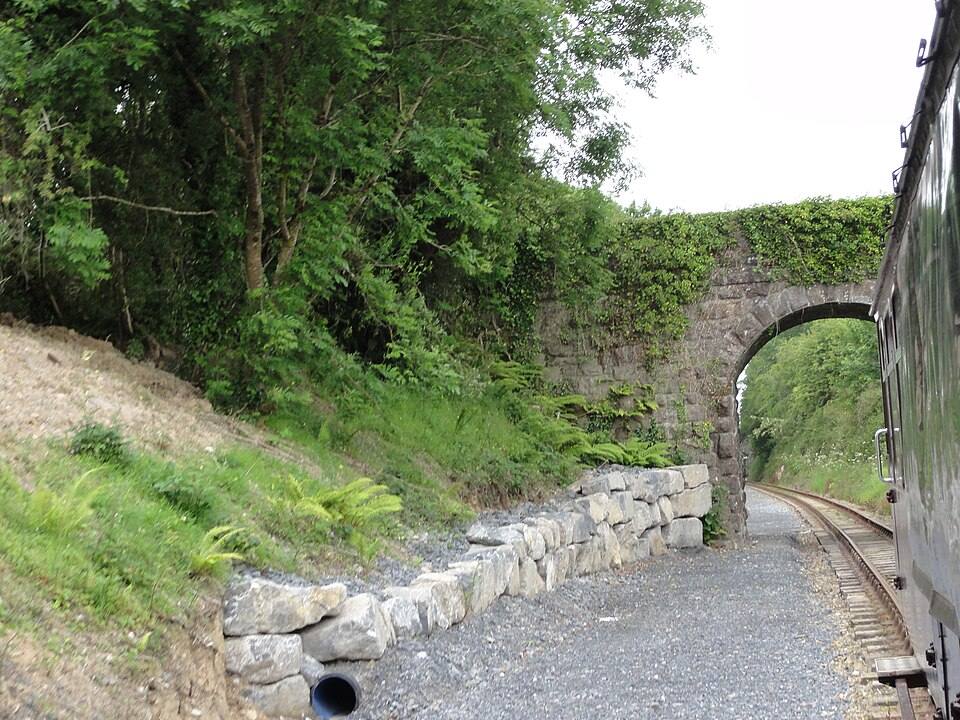
The Waterford Greenway runs along the former Waterford to Mallow railway from Waterford city to the coast at Dungarvan. It passes viaducts, the Ballyvoyle tunnel, the River Suir and Kilmacthomas before reaching Dungarvan Bay. Being fully off-road with a smooth surface, it attracts walkers as well as cyclists of all ages.
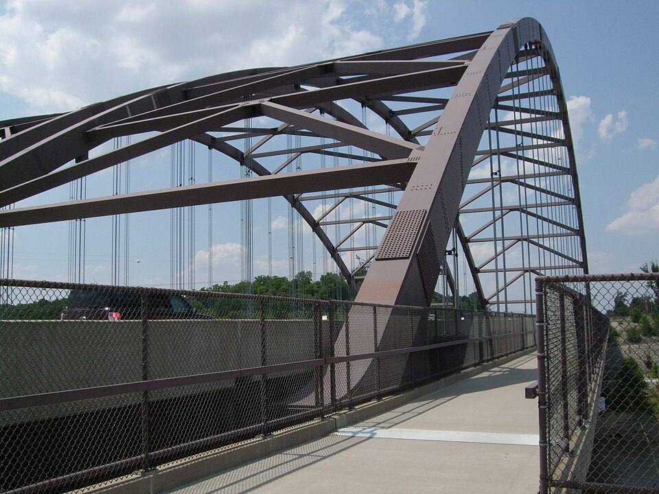
The Great Allegheny Passage is a rail trail between downtown Pittsburgh and Cumberland, Maryland. It follows the Monongahela, Youghiogheny and Casselman rivers, crosses the Eastern Continental Divide and passes the Salisbury and Keystone viaducts and the Big Savage tunnel. At Cumberland it meets the C&O Canal Towpath, which continues to Washington, DC.
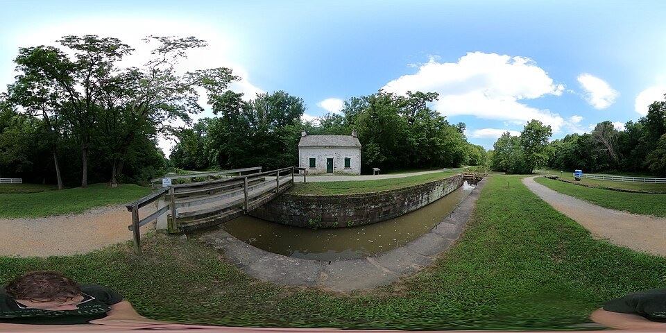
The Chesapeake and Ohio Canal Towpath follows the Potomac River from Georgetown in Washington, DC to Cumberland, Maryland. Lock houses, aqueducts and the Paw Paw tunnel recall the canal's working life, and the trail is managed as a national historical park. Together with the Great Allegheny Passage it forms a continuous car-free link between Washington and Pittsburgh.
Katy Trail State Park is a rail trail across Missouri on the former Missouri-Kansas-Texas Railroad corridor, from Machens near St. Louis to Clinton. Much of it runs beside the Missouri River, under limestone bluffs and past restored depots, wine towns such as Hermann and Rocheport, and the state capital, Jefferson City, on the opposite bank.
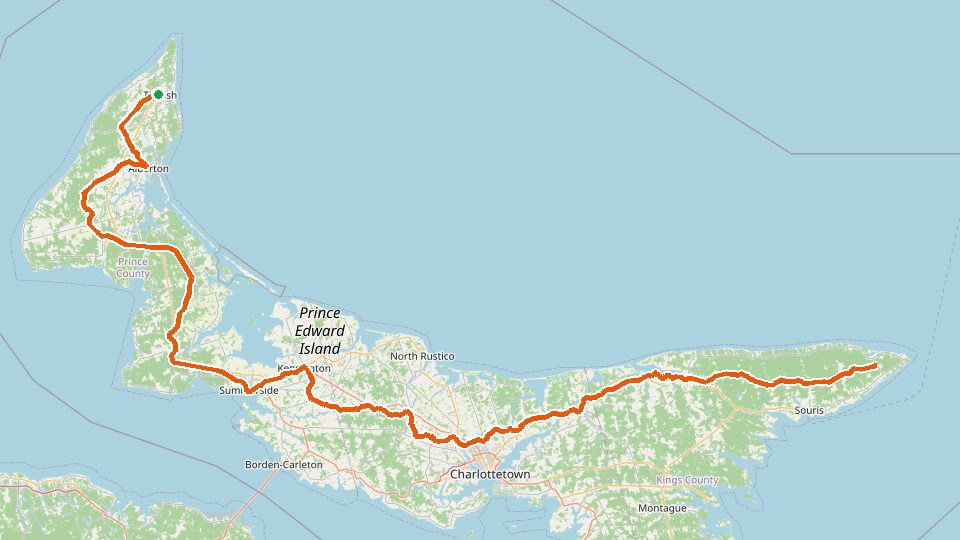
The Confederation Trail follows the abandoned railway across Prince Edward Island from Tignish in the west to Elmira in the east, with branches to Charlottetown, Souris, Montague and other coastal towns. Rolled stone dust, gentle grades and constant views of farmland, rivers and bays make it the island's main touring route; it also forms the PEI section of the Trans Canada Trail.
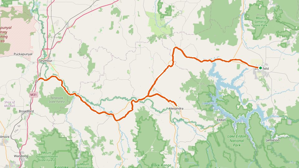
The Great Victorian Rail Trail follows the former Mansfield railway from Tallarook through Yea and Bonnie Doon to Mansfield, with a spur to Alexandra. It crosses the Goulburn River, passes the brick-lined Cheviot Tunnel and the long bridge over Lake Eildon, and climbs gradually towards the foothills of the High Country. Rolling farmland and river red gums set the scene for most of the way.
The Murray to Mountains Rail Trail links Wangaratta with Bright along the Ovens valley, with sealed branches to Beechworth, Milawa, Rutherglen and Wandiligong. Vineyards, orchards and the rising wall of the Victorian Alps give the trail its character, and the towns along it are known for food and wine. It is one of Australia's best-known sealed rail trails.
The Munda Biddi Trail is an off-road cycling route through the forests of Western Australia's South West, from Mundaring in the Perth Hills to Albany on the south coast. Its name means 'path through the forest' in the Noongar language. Jarrah and karri forest, rail formations, single track and forest roads lead past towns such as Dwellingup, Collie, Nannup, Pemberton and Denmark.
OSM track distance · 1060.5 km
Plan your ride
Choose a distance that suits your group and arrange your return. Check local restrictions, weather and path conditions before setting off.