


All-in-one
Terrain from every angle.
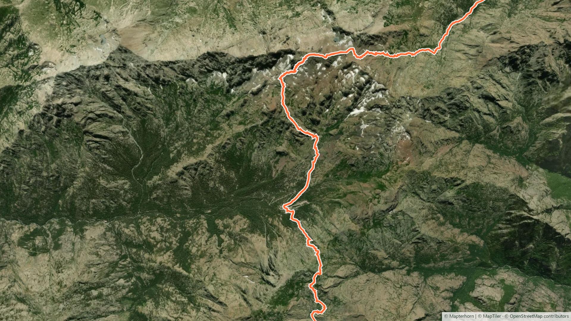
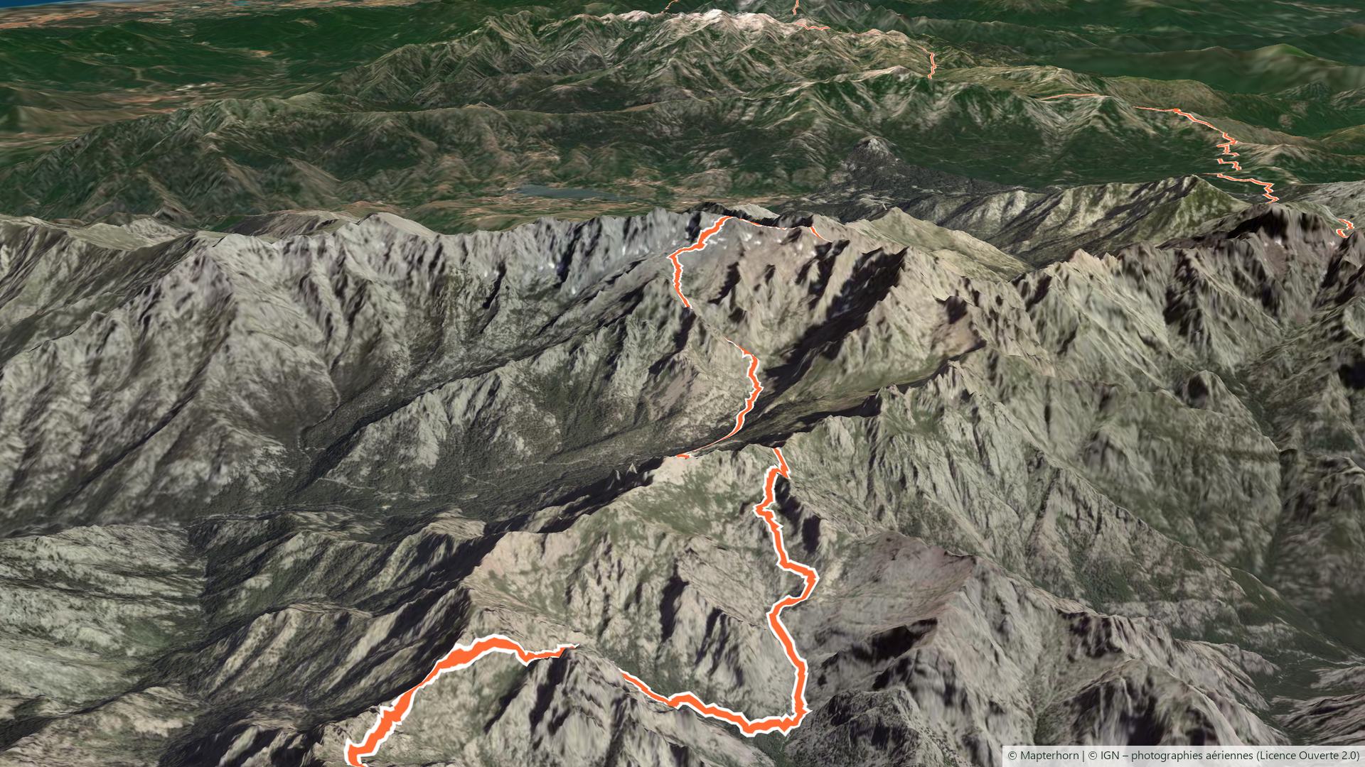
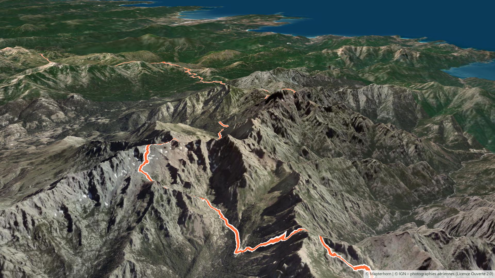
Draw your route by hand or import a GPX. See the difficulties in 3D relief and check the weather at a glance.
Watch the video demo
 Vistavel
Cycling · hiking · walking · discovery
Plan your routes on real 3D terrain, let voice guidance lead the way and follow your group live. No ads, no ad trackers.
Do you run a club or a group? Clubs & Groups space
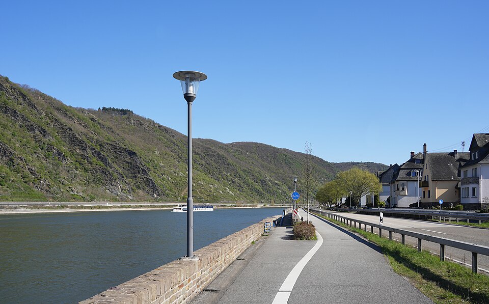

Walking times worked out from distance and climb, with a clear rating of effort and difficulty.
Plan a hike
All-in-one
Draw your route by hand or import a GPX. See the difficulties in 3D relief and check the weather at a glance.
Friendly
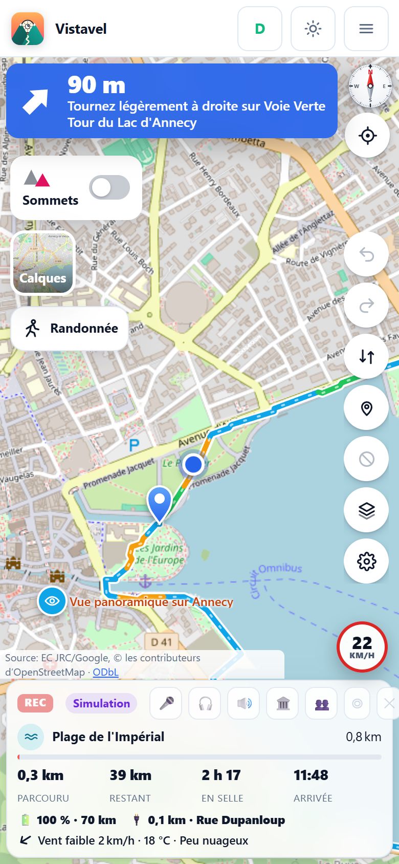
Put your phone away: Vistavel guides you by voice and tells you the story of the historic monuments along the way.
Clubs and groups
Manage your club calendar, create pace groups and follow your riders live on the map to ride safely.
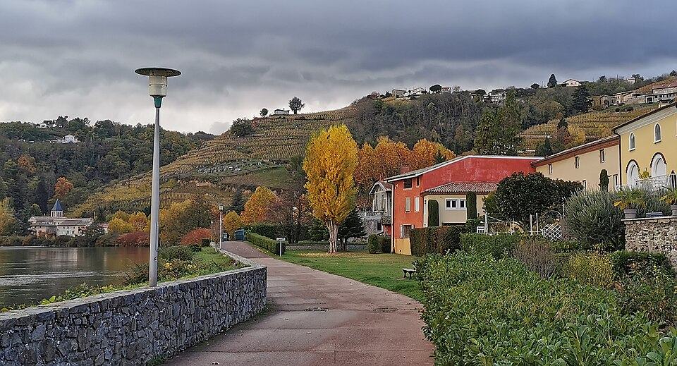
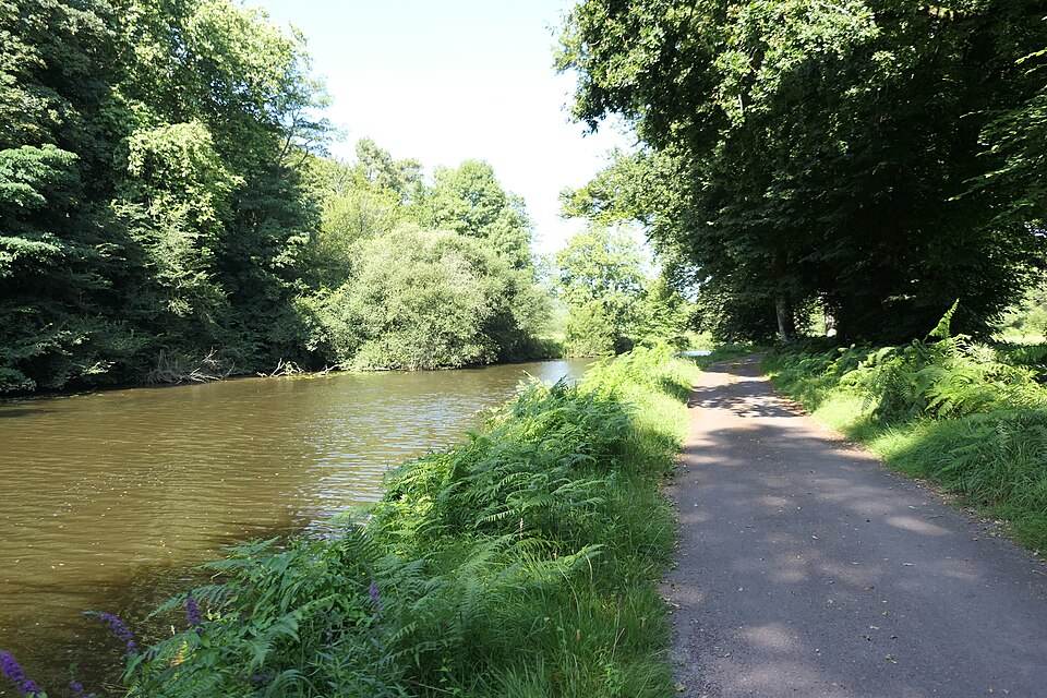
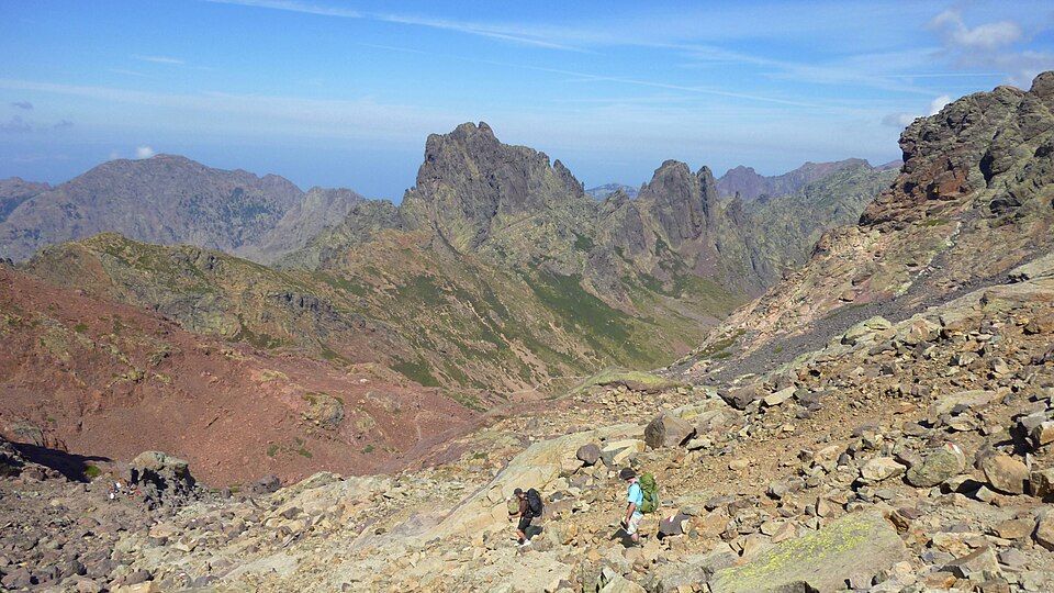
Cycle routes and rail trails: UK, Ireland, USA, Canada and Australia · Famous hiking trails in Britain, Ireland, North America and Australia
No ads: use Vistavel freely, on your own or with friends, or run your club’s activities.
Independent cyclists and hikers
Free no subscription
For clubs and associations
From US$6.58 per month
Final prices, no VAT.
No. You plan and follow your routes without an account. A free account keeps your routes on all your devices, unlocks features such as 3D terrain and lets you join a club or a group; running a club takes the Club plan.
Vistavel relies on OpenStreetMap and on public or open services. No ads, no advertising trackers.


