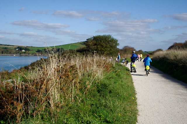
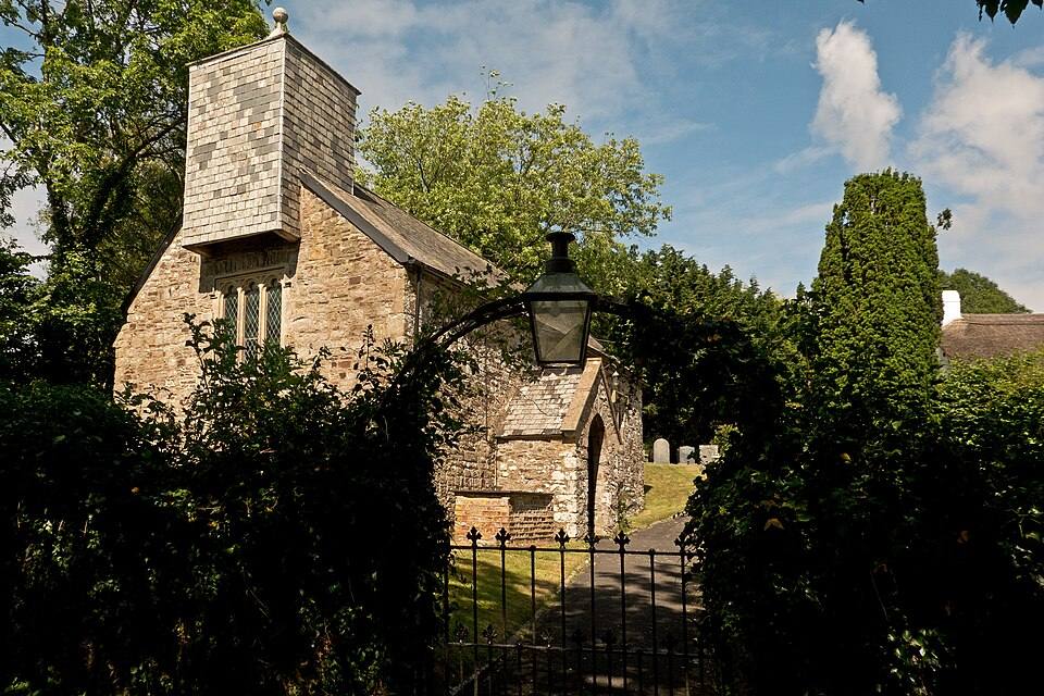
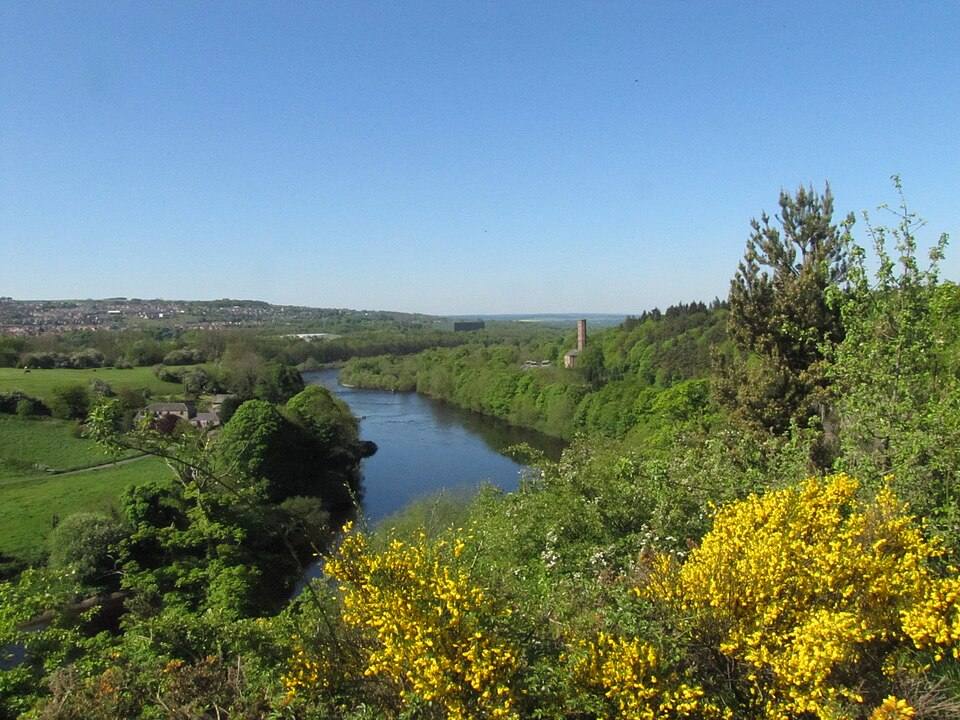
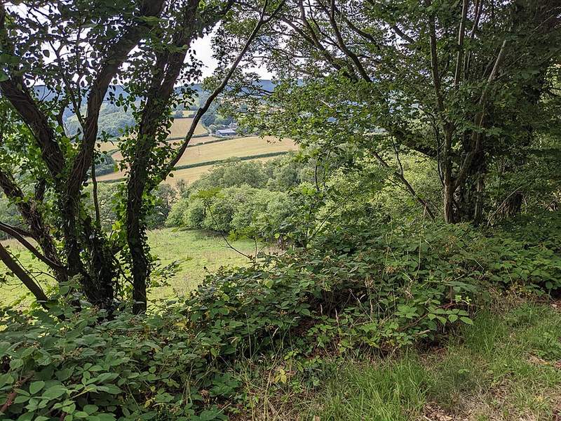
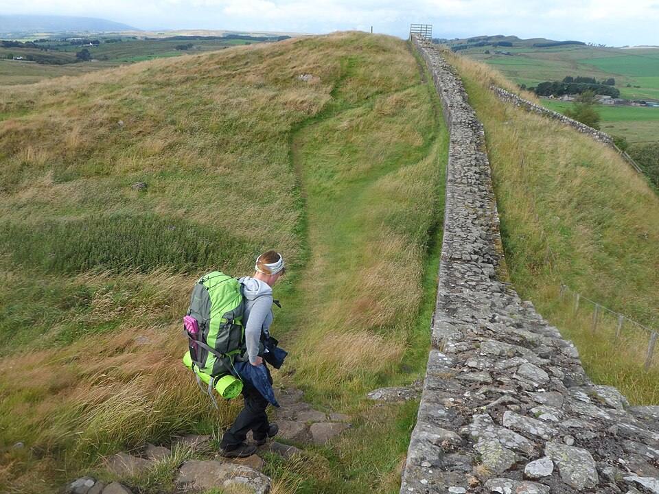
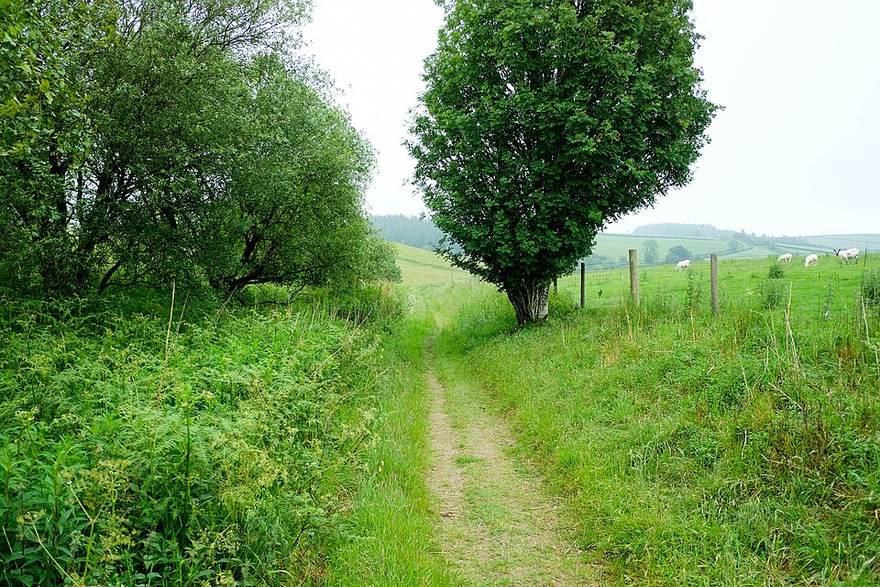
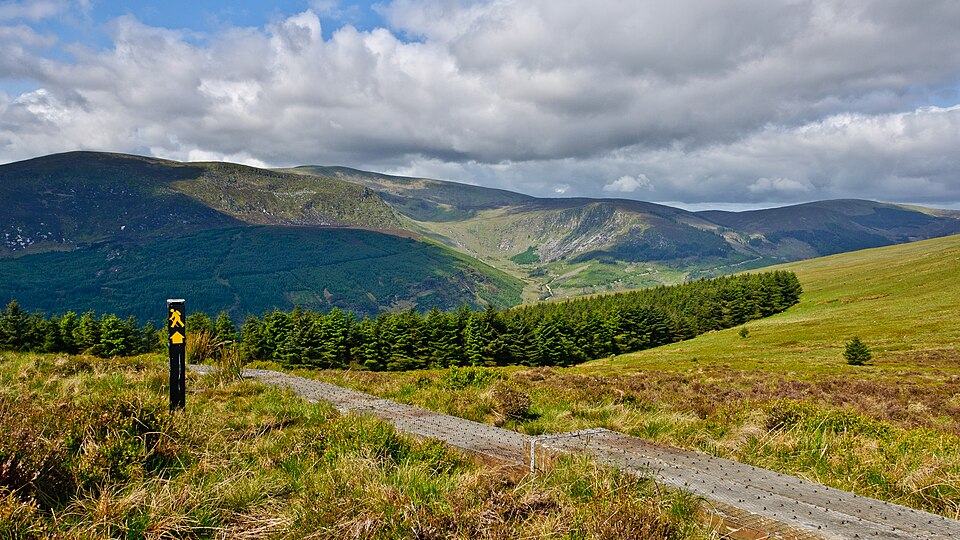
“In pictures” scrolls through views taken from the road or the path, at regular intervals along the track: the feel of the route, from start to finish, without leaving the route sheet.
The views are spread over the whole length of the track: step forward, step back or start the automatic slideshow.
2
Know where you are looking
Each view shows its distance from the start and, when a remarkable place is nearby, its name; at the same time, a marker on the map shows where the picture was taken.
3
Places with a face
On the route sheet, each remarkable place carries its photograph when one exists: the Wikidata reference image, otherwise the nearest Wikimedia Commons photo. Without a photo, the pictogram of its category stands in.
4
Open sources, always credited
The views come from Panoramax, the open imagery fed by its contributors, with Google Street View as a complement; the provider is shown under each image, with the author and the licence when they are known.
A view appears only when an image exists right next to the track. On a little-photographed trail, the page says so rather than showing a picture taken elsewhere; and if the services do not answer, it says that it could not check.
Do these images show the current state of the ground?
No. They are photographs taken at an earlier date: a surface, a barrier or roadworks may have changed since. They give the feel of the route, not a guarantee that it is passable.