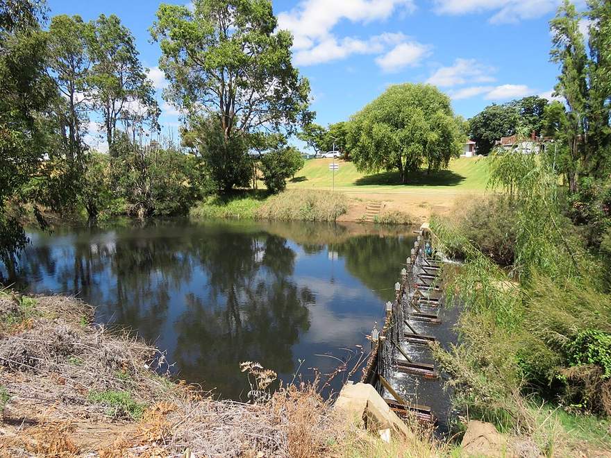
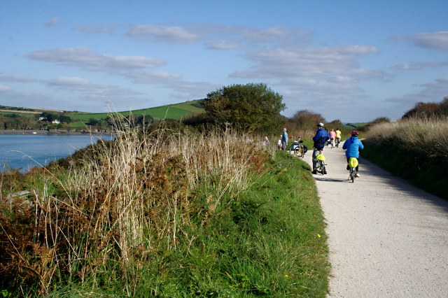
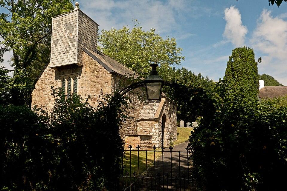
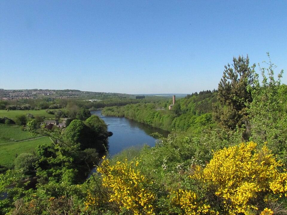
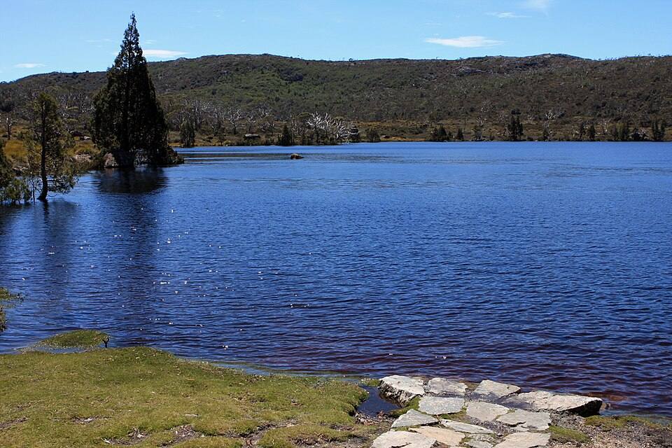
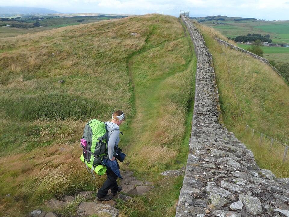
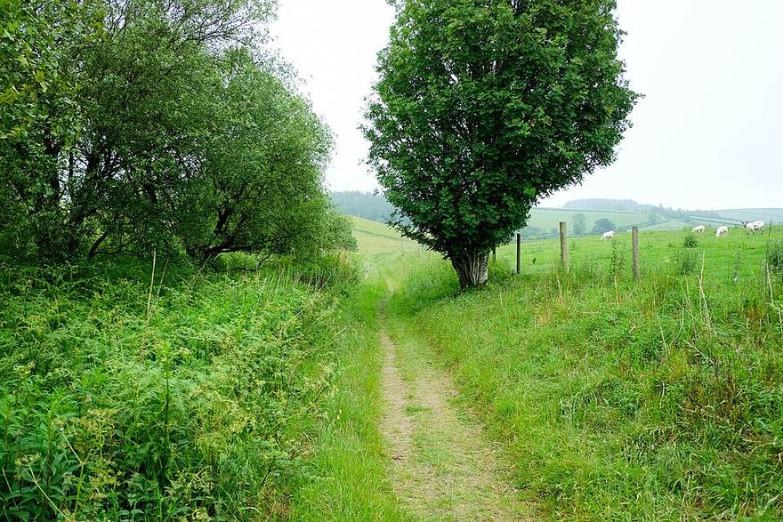
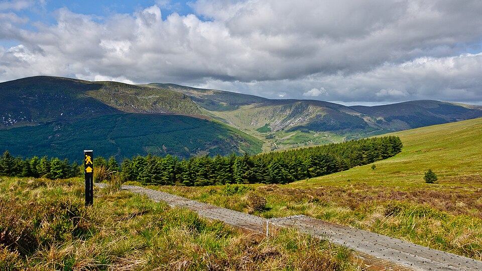
The “Fly over your route” button starts an animated flight along the track, over real terrain and aerial imagery: you know what awaits you before the first pedal stroke or the first step.
The camera follows the track, looking ahead; the line changes colour with the gradient, for climbs, steep climbs and descents. You see the demanding stretches before you reach them.
2
The places along the way, one by one
Every remarkable place carries its name, with its photo when one exists; a card appears as the flight passes it, and the progress bar marks where each one lies.
3
The weather at the time you pass
Sky, haze, rain, snow, wind and darkness follow the Open-Meteo forecast for the time you would be there; the dashboard shows temperature, headwind or tailwind, chance of rain, arrival time and sunset.
4
At your own pace, without leaving the map
Pause, resume, normal, double or slow speed, and free movement along the progress bar; shrunk to a thumbnail, the flyover keeps playing while you look at the map and the route sheet.
Because an elevation profile does not tell the whole story. The flyover shows the climbs, valleys and places in the order you will meet them: you choose between several routes, spot where to plan a break and set off without surprises. It is a simulation: it does not prove that a passage is passable.
What does the flyover need?
A signed-in Vistavel account, a WebGL-capable browser and a network connection to load terrain and imagery. Smoothness depends on the device; when no imagery is available the flyover shows the terrain alone, and no forecast is available beyond sixteen days.