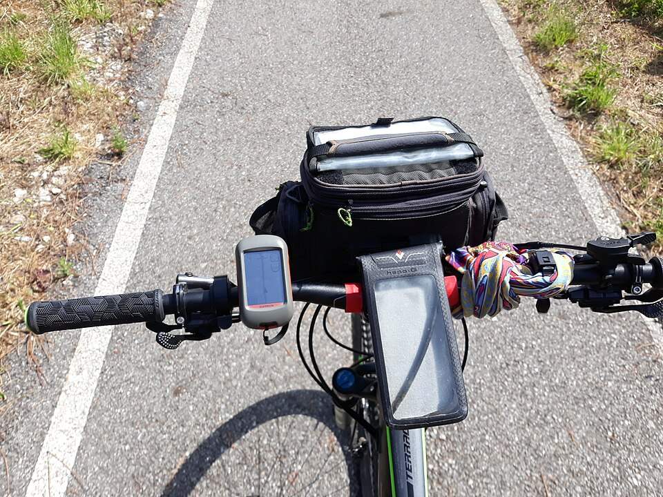
A GPS on the handlebars along EuroVelo 1, in PortugalPacopac · CC BY-SA 4.0 · Resized photo
1
Edit the route by hand
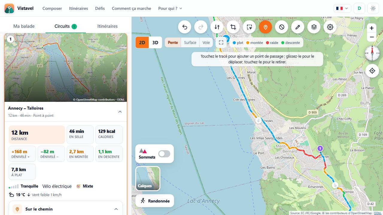
“Edit the track” makes the route editable: tap the line to insert a waypoint, drag it to move it, tap it to remove it. The route is recalculated at once on suitable ways, with its distances and elevation.
2
On mapped paths or in a straight line
By default each point is brought onto a way suited to your activity; turn off “Stay on mapped paths” to join your points in a straight line, off the paths. Undo, redo, reverse the direction, return to the proposed route: every gesture can be taken back.
3
Draw or import your track
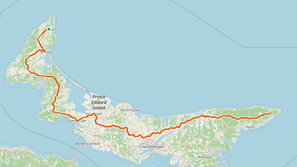
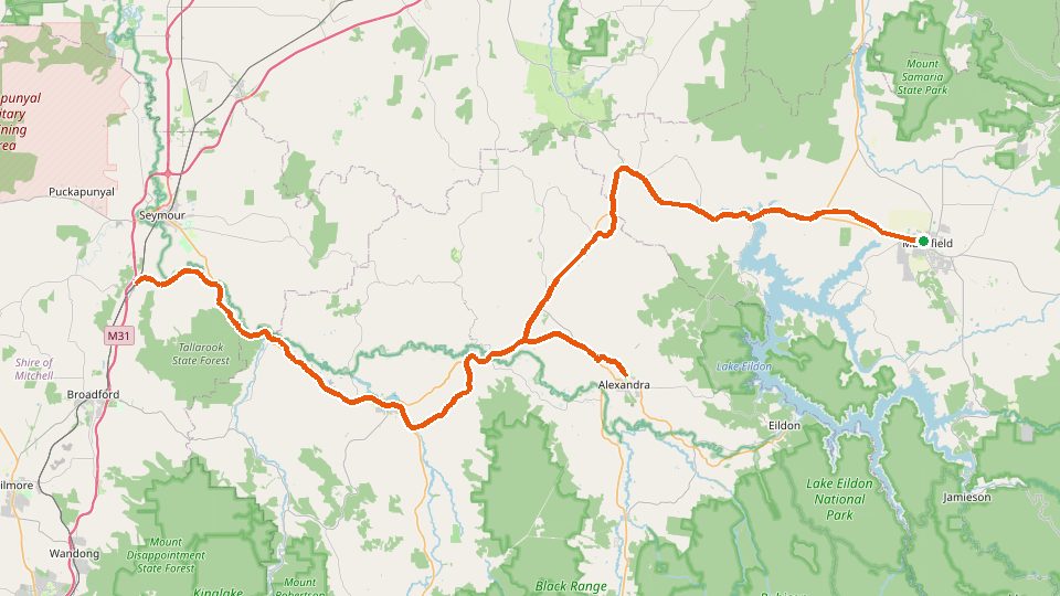
“Draw my track” places your points one by one on the map and traces the route between them; an imported GPX keeps exactly its geometry, gaps included, and gets the same analysis: distance, elevation, surfaces and services.
4
Select a section
Isolate a stretch of the route to review it, measure it, keep only that part or download its GPX on its own.
In pictures and on video
Editing the track by hand: moving a point, adding one, undoingThe track while it is being edited